What is Tiling?
Tiling is a game about discovering new places.
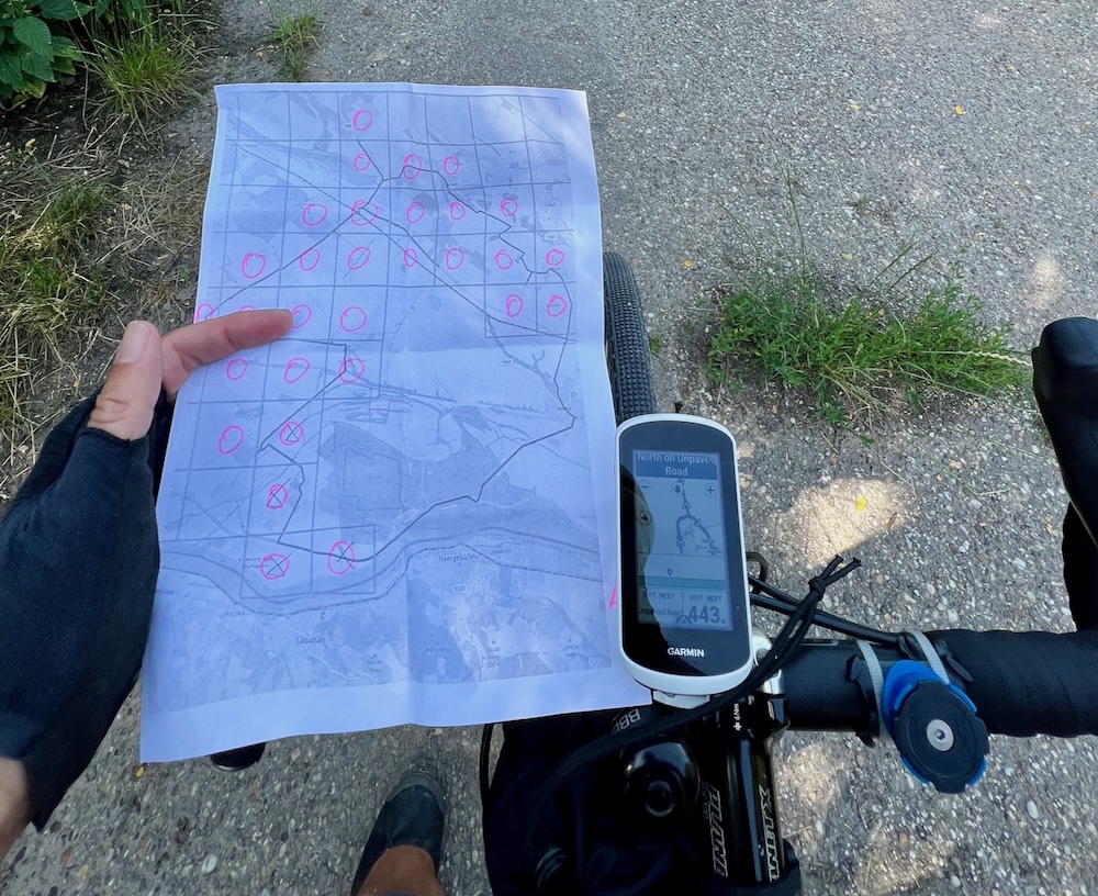
Tiles are roughly 1x1 mile rectangles* covering the surface of Earth. The goal of the game is to collect more tiles. To collect a tile, you need to visit it. Most people cycle, hike or paddle to collect a tile.
There are two main categories to compete in: the size of the biggest square in which all tiles are visited, and the number of consecutive tiles that have all four neighbors visited. These categories are often called “max square” and “max cluster”, respectively.
*If you’re familiar with Open Street Map, then you might recognize that these are zoom level 14 tiles.